Cathedral Peak
This is a strenuous Class III boulder climb. It's been suggested I recommend you not bring a dog. You should bring plenty of water. The trail is exposed to the hot sun. Gloves for the return trip are also a good idea as your hands may become burned and raw from the hot rocks.
The hike to Cathedral Peak is a very strenuous Class III boulder climb, but it's fun and not difficult (i.e. no ropes needed.) The trail can be difficult to follow and is not well-marked.
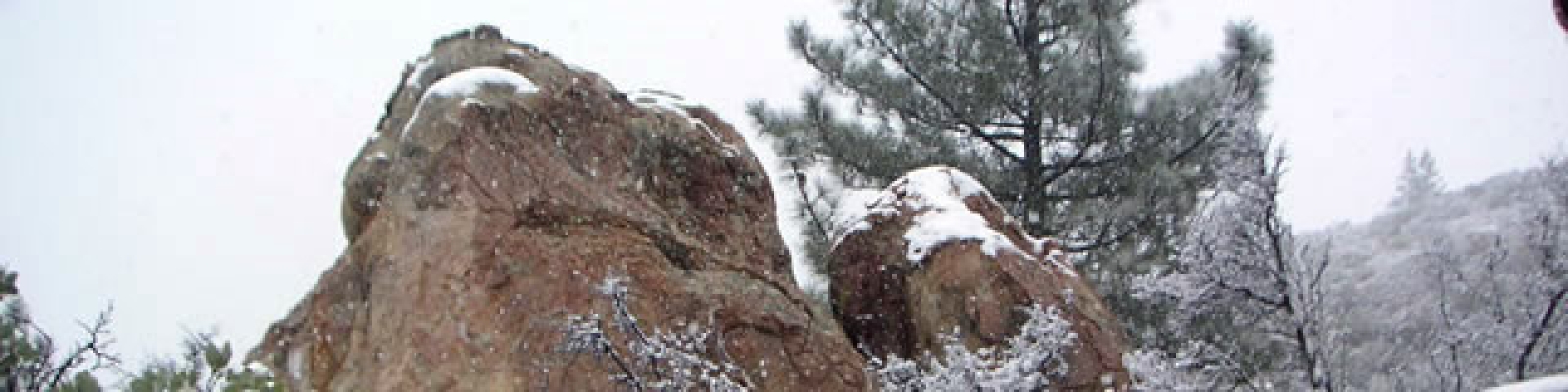
You use Tunnel and Jesusita Trails to access the social trail that carries you on the spine of the "Dragon's Back" up to Arlington Peak. Cathedral Peak, at 3333 ft., is a jutting rock formation beyond Arlington Peak. There is a nook in a rock on Arlington with a sign-in book to register your joyous summit.
The views are amazing, stretching from Oxnard on a very clear day all the way up the Gaviota coast.
The hike is about 4 miles round trip with an elevation gain of about 3000 ft.
Be careful to park with your tires completely within the line or you will be towed.
Hike up to the end of the road by the large water tank and metal gate across the road. This is the trailhead.
Pass through the iron, locked gate and follow the paved Edison Rd.
At approximately the 3/4 mile mark, cross the creek on a bridge. Around the bend the road becomes dirt. There is a junction here with a large sign. For Cathedral Peak, stay straight on the dirt road at this junction.
Go just a little ways, maybe a few hundred yards further, and off to the right is the sign and junction for Tunnel Trail. Continue straight, not taking Tunnel Trail, for a few more yards to the junction on the left for Jesusita Trail.
At about the 1 mile mark you will reach the creek. The Jesusita Trail continues straight across the creek. Instead, turn right up the creek and aim for the other side of the creek.
Go only a few feet up the creek, keeping a careful lookout for a trail on your left which will take up away from the creek. Follow this unnamed, unmarked trail.
At first there are a number of side trails back to the creek. The trail you want climbs steeply for about a mile and a half up the hill and away from the creek. Stay alert for a junction to the left (west). The junction goes up to Cathedral Peak.
Turn left on this junction. It is unmarked and unnamed.
The trail climbs steeply, increasing in steepness relentlessly. Stay alert as you climb because there are a few points where it is possible to miss the trail. The trail is more of a social trail than a marked and maintained trail.
At about the 1 mile and a half point, you will reach the ridgeline, also called the Dragon's Back or the Spine. The rest of the way for this hike follows the ridgeline through the boulders to the top.
At times the trail is hard to find. Taking the path of least resistance usually does the trick of keeping you on the trail. Stay alert, and always be looking for signs of the trail, such as other people's foot prints in the dirt.
The summit, at about 3333ft. isn't really Cathedral Peak, but Arlington Peak. There is a nook in the summit rock with a book for logging your joyous summit. The views are incredible 360 degrees around. If you would like to visit the true Cathedral Peak, it is the large, jutting rock formation that you see. There is a trail to it which you can follow. You can also connect the trail to Cathedral Peak to La Cumbre Peak and make a very large and very strenuous trail with La Cumbre Peak and Tunnel Trail. The trail to La Cumbre is even more difficult to follow
To return to the car, reverse your route and climb back down. The total mileage is about 4 strenuous miles.