Tunnel Trail
Tunnel Trail is one of the most popular trails in Santa Barbara. The trail is more accurately described as a complex of trails.
Described here is the basic trail from the trailhead to La Cumbre Peak, the highest peak in Santa Barbara at 3995ft.
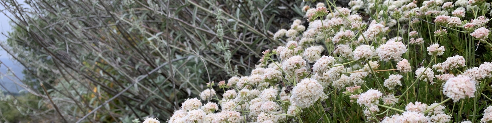
Tunnel Trail begins at the end of Tunnel Road and climbs up to the top of the mountains with many side trails and dirt roads connecting and branching from it. Along the way are gorgeous views of the city. The trail is usually very dry and without any creek crossings until shortly after rain. If you go up during a storm you can see the waterfall, which can be impressive. The waterfall, when dry, makes a nice lunch/view spot. At the top you reach East Camino Cielo Rd. From there it is a short walk up the Road to La Cumbre Peak where there is are picnic tables and great views of the city and ocean. There are also views of the wilderness on the other side of the Santa Ynez range.
The hike is about 9-11 miles round trip (depending on if you go all the way to La Cumbre Peak) with an elevation gain of about 3000 ft.
Please note: Parking at the trailhead is limited and strict. You must park behind the white line or else they really do ticket and tow. It is a congested neighborhood and parking within the white line helps emergency vehicles get through. Please be courteous to car traffic as you walk up and down the road and let residents get through. Please keep dogs on leash because there is a flock of free-range chickens that lives in the area. Residents have been pretty vocal about the traffic and safety issues in the area and your courtesy will keep the trailhead open.
Be careful to park with your tires completely to the right of the white line or you will be towed. It is a congested neighborhood and parking within the white line helps emergency vehicles get through. Please be courteous to car traffic as you walk up and down the road and let residents get through. Please keep dogs on leash because there is a flock of free-range chickens that lives in the area. Residents have been pretty vocal about the traffic and safety issues in the area and your courtesy will keep the trailhead open.
Hike up to the end of the road by the large water tank and metal gate across the road. The trail begins here on paved road.
Pass through the iron, locked gate and follow the paved Edison Rd.
At approximately 3/4 miles, cross creek on a bridge. Around the bend the road becomes dirt. There is a junction here and a large sign. To the right the Edison road continues up for a few miles and makes a nice hike. Stay straight on the dirt road at this junction.
Go just a little ways, maybe a few hundred yards further, and off to the right is the sign and junction for Tunnel Trail. Take this trail. You may miss this trail or not see the sign. If you end up seeing a trail that heads off the dirt road to the left, you have gone too far (you found the Jesusita Trail). If you end up climbing steeply on the dirt road, you have gone even further still.
At a little more than than the 1 mile mark you reach a junction with a dirt road and some power lines, called the Edison Catwalk. You can make a loop back to the paved road at this junction by turning right. To continue on Tunnel Trail, cross straight ahead to where the trail continues.
At about the 2 mile mark the trail will take a noticeable turn to the right (east) into the shade on the north side of a hill. The side of the trail will be covered in moist ferns and other cool-loving plants. Just at the turn if you look to the right you will see a small, unnamed trail going steeply up the ridge into the brush. This steep trail is an example of one of the many hidden side-trails off of Tunnel Trail. (There's a nice viewpoint and prominent rock up there you can sit on, but it's a very strenuous class III rock scramble part of the way to this outcrop.)
Continue along Tunnel Trail into the shady part and in about 1/4 mile you will come to another junction with the Rattlesnake Connector Trail, which connects the Rattlesnake Trail to Tunnel Trail.
Continue on Tunnel, not taking the Connector. At just under the 3 mile mark there is a large rock formation at a turn in the trail that after a strong rain will have an impressive waterfall but most of the time will not have any water at all. This formation makes a nice view point and destination. To sit on top of the falls, just go straight through the bushes. Be careful at the falls because the rocks are slick near the edge and you could fall to your death.
Tunnel Trail continues beyond this formation and crosses a creek that is dry most months. The trail becomes increasingly rocky and the vegetation becomes noticeably more scrubby. The trail becomes more exposed to the sun as well.
At the 4 mile mark, you reach the junction of East Camino Cielo Rd.
If you would like to summit La Cumbre Peak at 3995ft., Turn left onto East Camino Cielo Rd. and follow the road to the turnoff.
The turnoff will be on your left in about a mile and blocked by a gate. Pass through the gate and follow the asphalt to the summit (either fork in the road will take you there). There are picnic tables for you to enjoy the view.
To get back to your car, return the way you came.