Red Rock
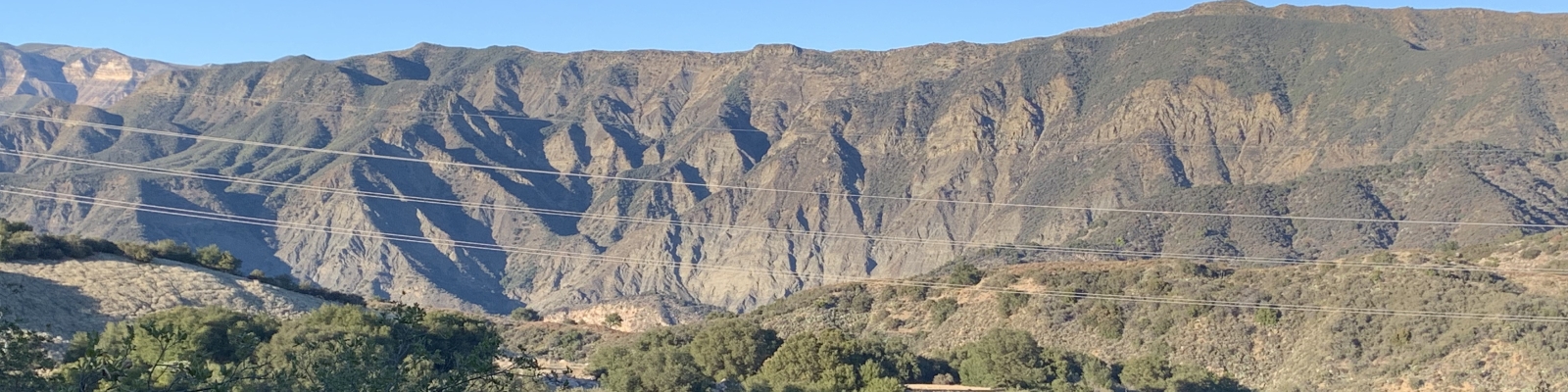
Red Rock, at the end of Paradise Road on the Santa Ynez River is one of the most popular weekend destinations for summertime fun. It's a local party spot. Families, teenagers, hikers and all kinds of people come to this area to enjoy the deep swimming holes, picnic spots and campgrounds (that are usually closed) along the Santa Ynez River.
You will be asked to purchase a pass to park your car in the area.
The hike to Red Rock is only about 2 mile or less, round trip, but you will get your feet wet sloshing through the creek.
Beyond the Red Rock swimming hole you can continue sloshing your way along the creek, following an old jeep road to another deep swimming hole or two, and then at about the 3.5 mile mark, reach Gibraltar Dam, a reservoir for the City of Santa Barbara.
There is also an option to hike a high road to Gibraltar Dam and return to your car along the river.
The round-trip to the dam is about 6 miles.
The trailhead for Red Rock begins at the very end of Paradise Rd. There is a large parking area there, recently upgraded with porous, brick parking spaces.
Look for a large metal gate at the north-ish end of the parking lot, near the bathrooms. Pass through the gate and head toward to river. Walk along the cobbles of the dry river bed. Cross the river (it can get deep) and head up the hill. The swimming hole and the red rock that gives Red Rock its name can't really be missed.
One thing about Red Rock is it is hard to find a place to lay your towel. Make sure you brought enough water and sunscreen.
To get back to the car, go back the way you came. Total mileage from the big red rock: about 2 miles round trip. There are other swimming holes further up the creek so the mileage of your hike may vary.
A loop option to Gibraltar Dam, returning via the creek
This is a loop hike, about 6 miles round trip.
In the parking lot, look for another metal gate at the west end of the lot. You would find this gate if you drove across the creek and just went straight ahead. Pass through this gate and begin an uphill climb along a dirt road.
At the second bend in the road, about the 3/4 mile mark, you may see a small trail off to the right. It is a shortcut. If you don't see it, just continue along the road.
At the top of the climb, you'll have a nice view toward Gibraltar Lake.
Eventually the road drops down toward the dam. Near the bottom, at about 2.75 miles, there is a junction with Devil's Canyon Trail. You may not see it. It's a nice trail along a creek. Just beyond Devil's Canyon trail you will see a sluice gate in the creek near the bottom of the hill.
Near the sluice gate, there is a three-way junction. If you head up the hill you can go see Gibraltar Dam. There's a picnic table and porta-potties and an interpretive sign near a Quonset hut at the top of the hill. That's one option for your hike.
At the sluice gate, if you instead head down toward the creek and make a left turn, you can hopefully find the trail crossing the creek within the reeds choking the creek. At some times of year the trail is under water. Get used to it because if you continue this way, you will be crossing the creek many times and in some seasons it will be difficult if not impossible to keep your feet dry.
Once you make this first crossing you will find a followable trail. Follow the trail all the way back to the parking lot where you left your car.
Total miles if you did this loop is around 6.